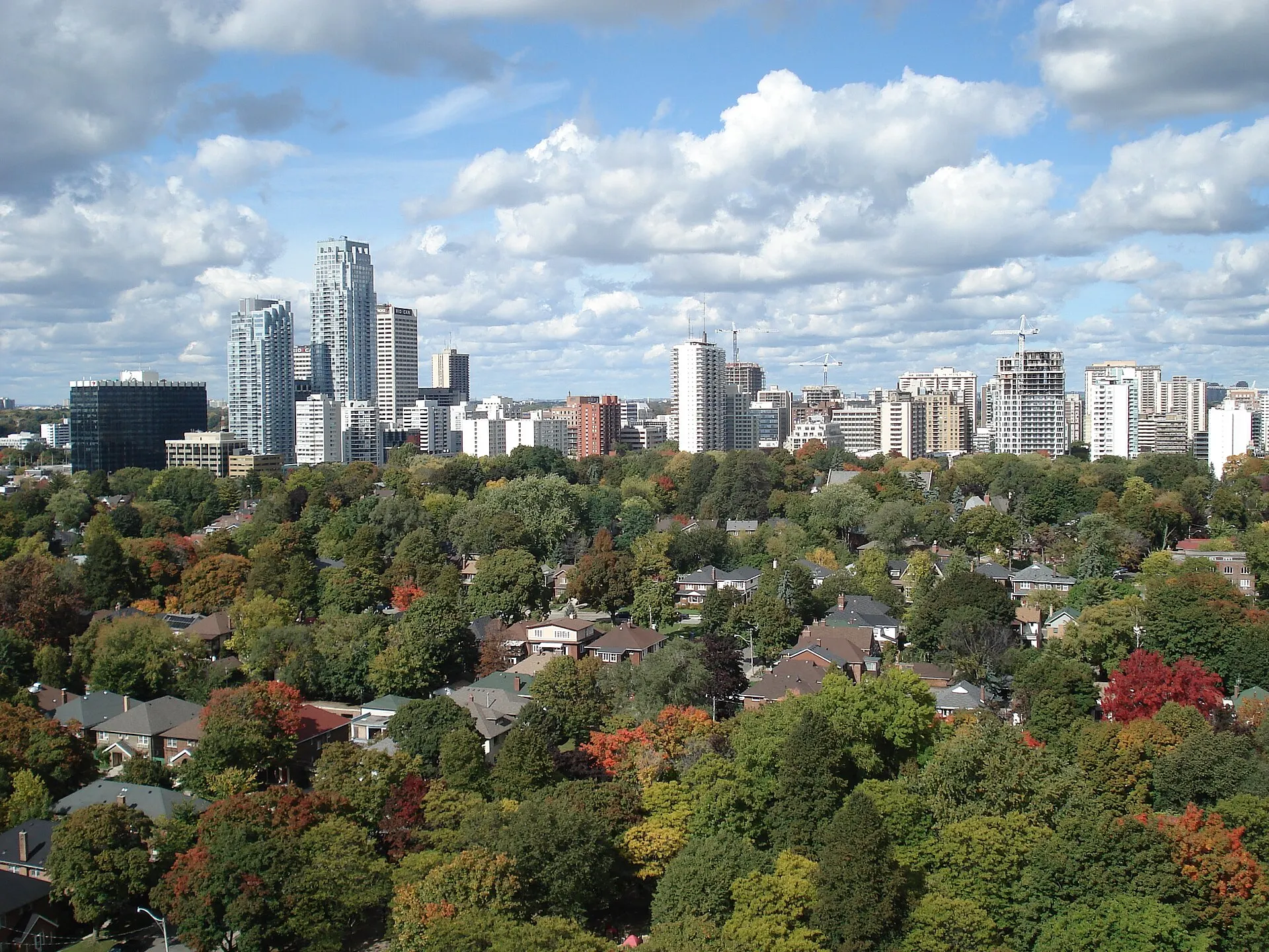
Toronto
Midtown living either side of Mount Pleasant
Photo: Eja2k, public domain, via Wikimedia Commons
How Davisville Village Took Shape
Named for the Davis family, whose post office and pottery works anchored the crossroads in the nineteenth century. The village was folded into the city as North Toronto expanded along the Yonge streetcar line.
Day to Day in Davisville Village
A genuinely mixed midtown neighbourhood: apartment towers close to Yonge, then quiet residential streets running east toward Mount Pleasant with a strong local shopping strip.
Homes in Davisville Village
Semi-detached and detached houses on modest lots, plus a substantial stock of rental and condominium apartments near the subway.
Why People Choose Davisville Village
- Davisville station on Line 1
- The Beltline Trail runs along the northern edge
- Independent shops and restaurants along Mount Pleasant Road
Worth Knowing in Davisville Village
Kay Gardner Beltline TrailJune Rowlands ParkMount Pleasant Road shops
Davisville Village on the Map