Toronto
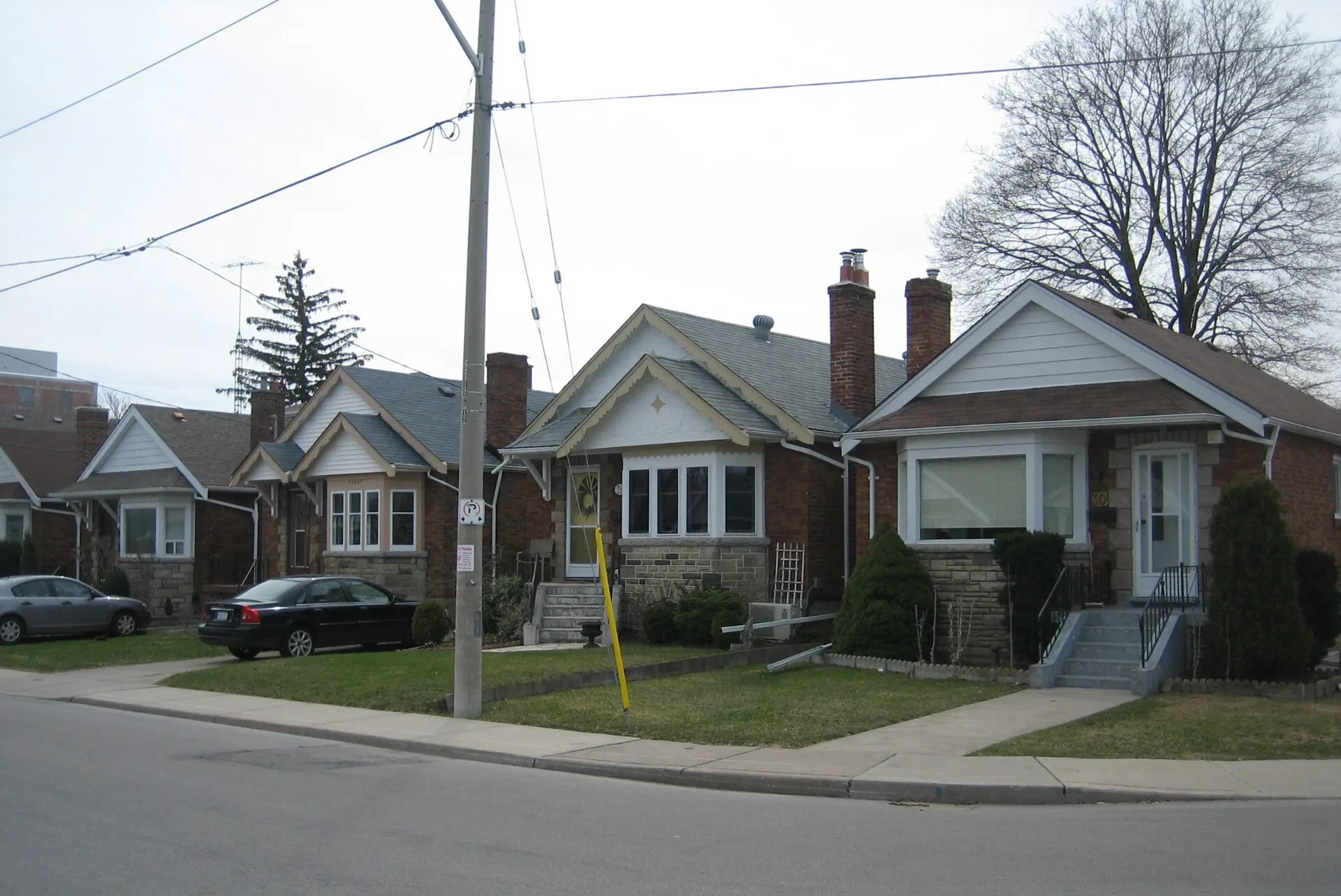
Postwar streets east of the Don
Photo: SimonP, CC BY-SA 3.0, via Wikimedia Commons
How East York Took Shape
East York separated from York Township in 1924 and became a borough in 1967 — the last borough in Ontario, right up until amalgamation folded it into Toronto in 1998. Most of its housing went up in the two decades after the Second World War.
Day to Day in East York
Residential and quietly practical, with parkland following the Don Valley and Taylor Creek along its western and northern edges. Shopping is spread across local strips rather than concentrated in one district.
Homes in East York
A large stock of postwar bungalows and semi-detached houses on regular lots, a great many since extended upward or rebuilt, with low-rise apartment buildings along the arterial roads.
Why People Choose East York
- Extensive ravine parkland along the Don Valley and Taylor Creek
- Line 2 stations along the Danforth at the southern edge
- Postwar bungalow stock on regular lots, widely renovated
Worth Knowing in East York
Taylor Creek ParkTodmorden MillsEast York Civic Centre
East York on the Map