Toronto
A planned town that kept its shape
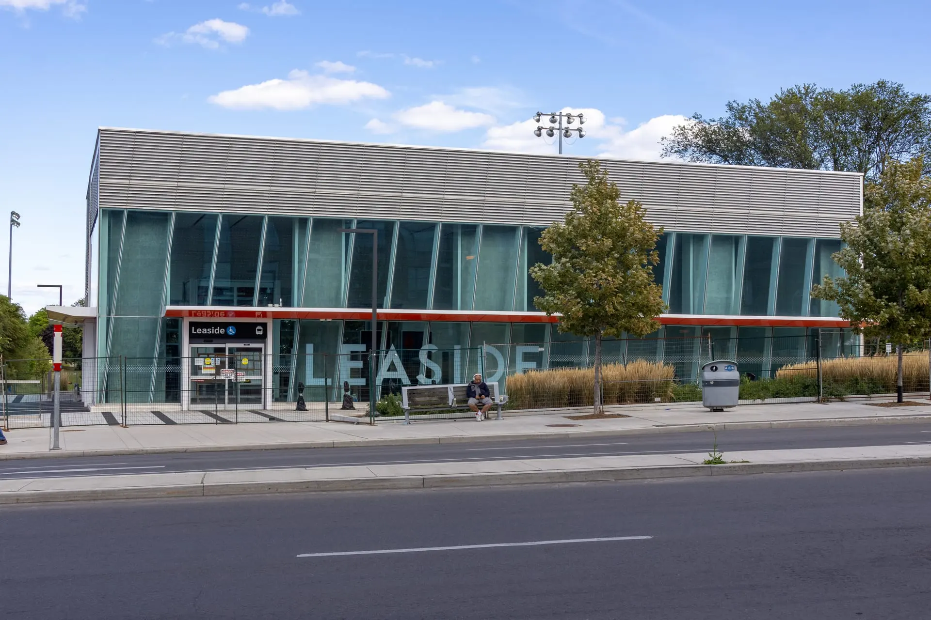
Photo: Dillan Payne, CC BY-SA 4.0, via Wikimedia Commons
How Leaside Took Shape
Leaside was incorporated as its own town in 1913, planned around a railway and later an industrial district, before amalgamating with East York in 1967. The original plan gives the area its unusually regular streets.
Day to Day in Leaside
Strongly residential with an active retail spine on Bayview Avenue. The former industrial lands to the south have been redeveloping for years. Leaside ends at Moore Avenue — south of it is Bennington Heights, a separate neighbourhood.
Homes in Leaside
Consistent stock of detached and semi-detached houses from the 1930s to 1950s, many since extended or rebuilt, plus newer townhouse and condominium development near Laird.
Why People Choose Leaside
- Planned town layout dating to 1913
- Bayview Avenue shopping and dining strip
- Ontario Line and Line 5 Eglinton Crosstown transit projects nearby
Worth Knowing in Leaside
Serena Gundy ParkBayview AvenueTrace Manes Park
Leaside on the Map