Toronto
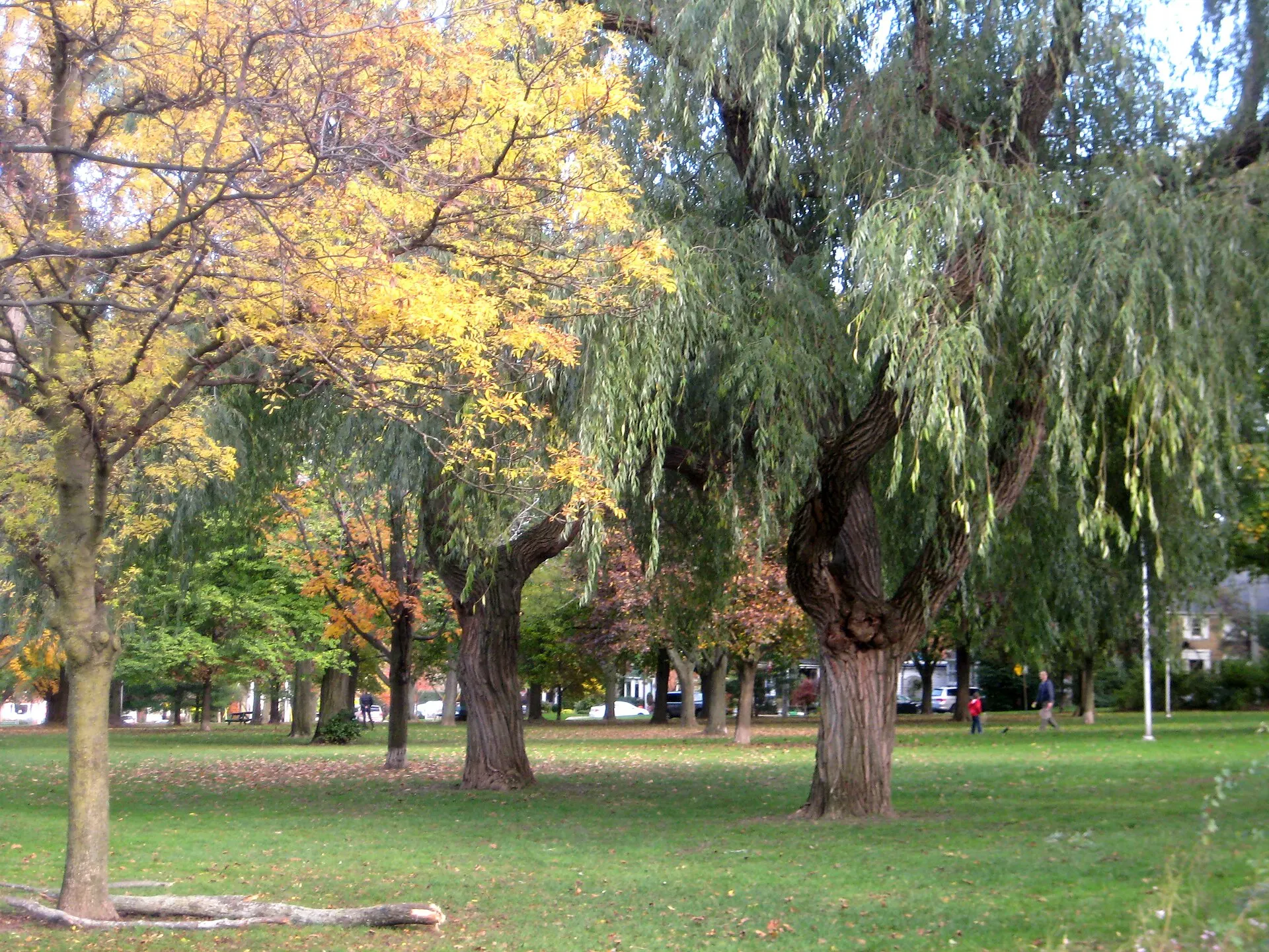
A quiet pocket around its namesake park
Photo: SimonP, CC BY-SA 3.0, via Wikimedia Commons
How Wanless Park Took Shape
Named for John Wanless, a Yonge Street jeweller and landowner, the area was developed principally through the 1920s and 1930s as North Toronto extended eastward.
Day to Day in Wanless Park
A small residential enclave organised around the park itself, with almost no through traffic and Yonge Street services a short walk west. By car it is a straight run north up Bayview or Mount Pleasant to the 401, and the Toronto French School sits on Lawrence at the eastern edge of the neighbourhood, where Mildenhall Road comes down. The area runs west to Ronan Avenue, north to Roslin Avenue and then along the top of the ravine, and east as far as the Toronto French School; Riverview Drive, on the far side of the ravine, is outside it.
Homes in Wanless Park
Detached houses on regular lots, largely from the interwar period, with a growing number of renovations and rebuilds.
Why People Choose Wanless Park
- Built around a park with sports facilities and a playground
- Quiet streets with limited through traffic
- The Toronto French School on Lawrence at the eastern edge
- Bayview and Mount Pleasant run north to the 401
Worth Knowing in Wanless Park
Wanless Park on the Map